View of the city of Washington in 1792
- Selected buildings and trees shown pictorially. - Planimetric map--not bird's-eye view. - Also shows townsites of Georgetown, Hamburgh, and Carrollsburg. - Available also through the Library of Congress Web site as a raster image. - LC copy accompanied by D.C. Sesquicentennial exhibition caption, Apr. 1950-Apr. 1951: 9. Pre-District plantations. - LC copy darkened, fold-lined, lacking small sections along edges, and mounted on cloth backing. - Phillips. Washington 1285 - Vault
- DCPRelevante Bilder


Relevante Artikel
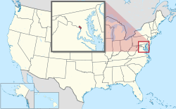
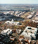
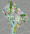
Washington, D.C.Der District of Columbia oder Washington, D.C. [ˈwɔʃɪŋtn̩] ist Bundesdistrikt, Regierungssitz und seit 1800 die Hauptstadt der Vereinigten Staaten. Der Distrikt grenzt an die Bundesstaaten Virginia und Maryland, ist aber selbst kein Bundesstaat und keinem zugehörig. Er ist vielmehr dem Kongress der Vereinigten Staaten direkt unterstellt. Trotz Namensgleichheit mit dem Bundesstaat Washington an der Westküste der Vereinigten Staaten wird Washington, D.C. im deutschen Sprachraum meist nur „Washington“ genannt; D.C. steht dabei für den District of Columbia. .. weiterlesen
