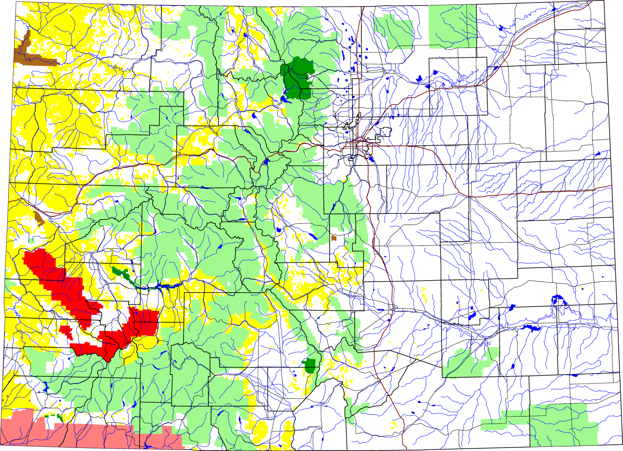
Uncompahgre National Forest location in Colorado
David Benbennick made this map with data from nationalatlas.gov.
The map uses the azimuthal equidistant projection, centered on (-105.7167, 39.1333) (degrees latitude, longitude). The area outside Colorado is transparent, so it should look nice on non-white backgrounds.
Eventually, I will upload the 4 megabyte Metapost script I used to make this map. In the mean time, see map.mp.


Relevante Artikel
Uncompahgre National ForestDer Uncompahgre National Forest in ein 4000 km² großer National Forest im Südwesten des US-Bundesstaates Colorado in den Countys Gunnison, Hinsdale, Mesa, Montrose, Ouray und San Miguel. Er grenzt im Süden an den San Juan National Forest. Der Wald teilt sich in zwei Teile, das Uncompahgre Plateau und die San Juan Mountains. Im Umcompahgre National Forest liegen auch die drei Wildgebiete Umcompahgre Wilderness, Mount Sneffels Wilderness und Lizard Head Wilderness. .. weiterlesen