USGS Kīlauea MultimediaFile-978
Autor/Urheber:
Shortlink:
Quelle:
Größe:
5184 x 3456 Pixel (10791229 Bytes)
Beschreibung:
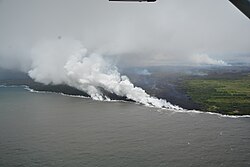
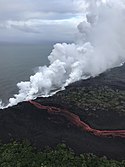
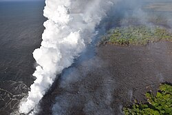
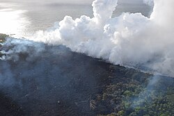
November 12, 2014 (Puʻu ʻŌʻō, Kīlauea): The house which was recently destroyed by lava is just below the center of the photo. Lava bypassed the garage, which still stands at the center of the photo. Lava briefly entered the fish pond next to the house, before continuing downslope. Also visible is the small active flow next to the transfer station, and the larger, more rapidly moving finger about 360 meters (390 yards) upslope from Apaʻa Street at upper right. The smoke at upper left marks another breakout widening the flow into the adjacent forest. The view is to the southwest. (https://hvo.wr.usgs.gov/multimedia/index.php?page=9)
Lizenz:
Public domain
Relevante Bilder
Relevante Artikel
Puʻu ʻŌʻōDer Puʻu ʻŌʻō ist ein 698 m hoher Schlacken- und Schweißschlackenkegel in der östlichen Riftzone des Kīlauea-Vulkans auf der größten Hawaii-Insel Big Island. Der Kegel entstand im Zuge der Puʻu-ʻŌʻō-Kūpaianaha-Eruption, die am 3. Januar 1983 begann und 2018 endete. .. weiterlesen


