St Croix NASA
Autor/Urheber:
NASA
Shortlink:
Quelle:
Größe:
3426 x 2404 Pixel (6333073 Bytes)
Beschreibung:
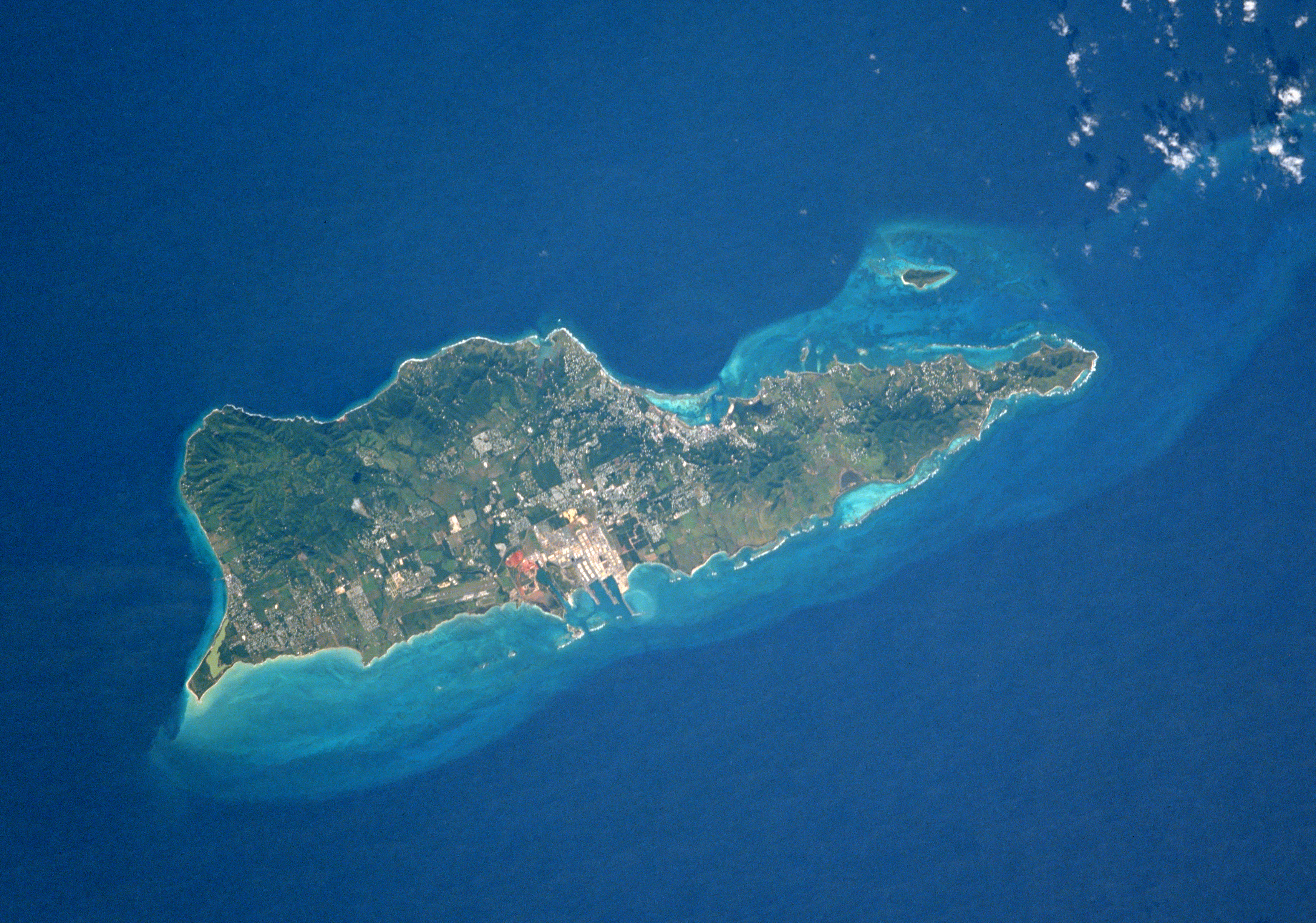
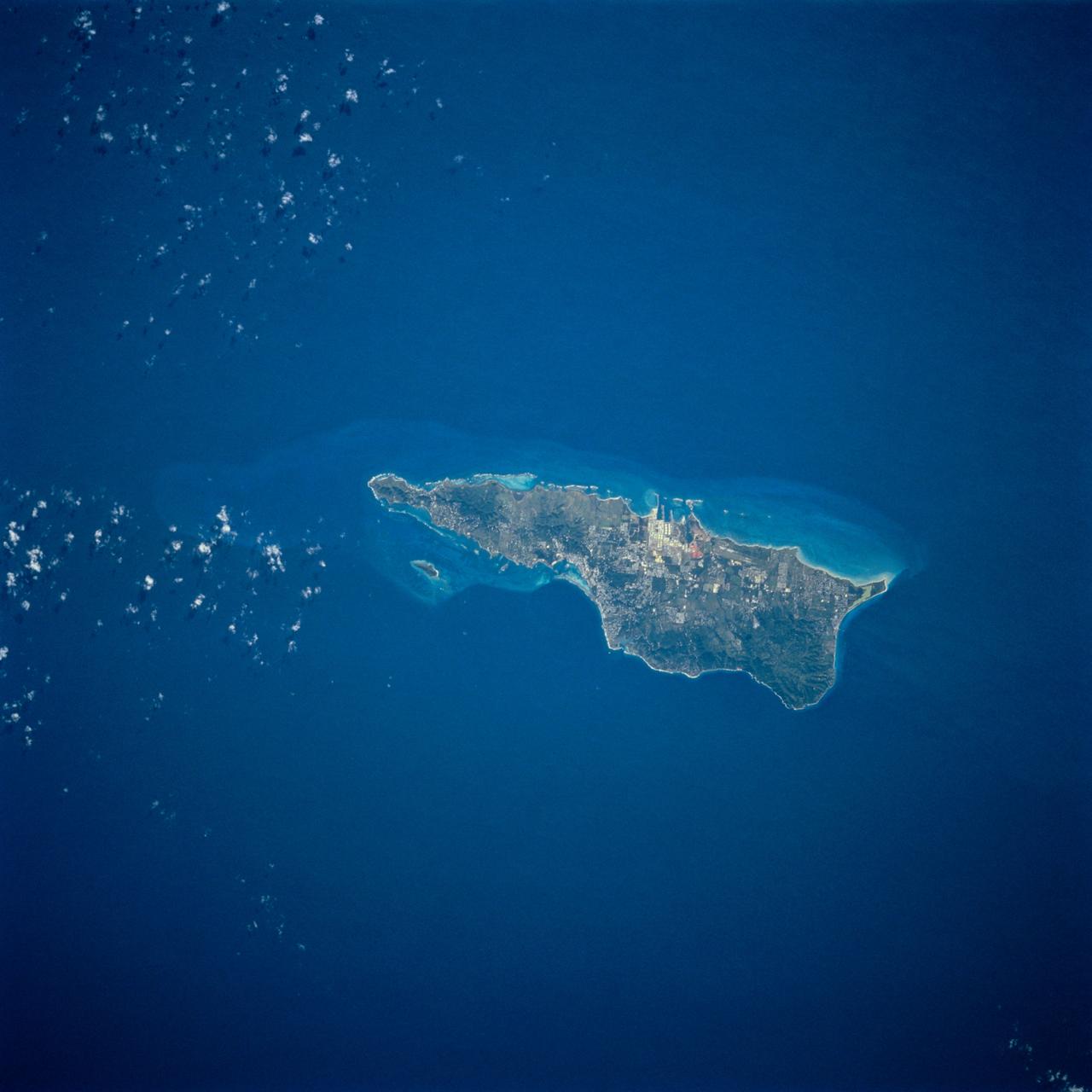
St. Croix, U.S. Virgin Islands, Caribbean Sea
- Saint Croix, largest of the Virgin Islands, is visible in this near-vertical photograph. Saint Croix, covering 80 square miles (more than 200 square kilometers), is of volcanic origin and is characterized by rugged slopes that rise abruptly from the sea. Most of the rugged hills are on the north and northwest sides of the island (dark green area), with the highest elevation approximately 1170 feet (350 meters) above sea level. The island of Saint Croix was discovered in 1493 by Christopher Columbus. The major city of Christiansted is located near the center of the northern coast. Large pasturelands are visible along the southwest coast. Tourism is the island's major industry; the petroleum processing and chemical industries are also important in the island's economy.
- St. Croix (17.5N, 65.0W) is the largest and most industrialized of the U.S. Virgin Islands. The large complex in the middle of the south shore is the world's largest petroleum refinery and the main city, Christiansted, is just across the island on the north shore. The reefs around the eastern end of St. Croix are preserved as a submarine national park: Buck Island Reef National Park, around the small island off the NE shore.
Lizenz:
Public domain
Bild teilen:


Relevante Bilder


Relevante Artikel
Saint Croix (Amerikanische Jungferninseln)Saint Croix ist eine Insel der Amerikanischen Jungferninseln im Archipel der Kleinen Antillen. Sie ist mit einer Fläche von 213 km² die größte, aber mit etwa 41.000 Einwohnern nicht die bevölkerungsreichste Insel der Amerikanischen Jungferninseln, welche ein US-amerikanisches Außengebiet sind. .. weiterlesen