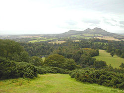
River Nith estuary
Autor/Urheber:
Doc Searls from Santa Barbara, USA
Attribution:
Das Bild ist mit 'Attribution Required' markiert, aber es wurden keine Informationen über die Attribution bereitgestellt. Vermutlich wurde bei Verwendung des MediaWiki-Templates für die CC-BY Lizenzen der Parameter für die Attribution weggelassen. Autoren und Urheber finden für die korrekte Verwendung der Templates hier ein Beispiel.
Shortlink:
Quelle:
Größe:
3504 x 2336 Pixel (9096679 Bytes)
Beschreibung:
The estuary of the River Nith, Scotland, at low tide; opening into Solway Firth. This is a view of the Nith estuary from the north-east. The group of buildings at bottom right is the village of Glencaple. At bottom left near the wooded area is Caerlaverock Castle. At top right is Loch Kindar and the hill above is called Criffel. Just beyond the top left of photo is the birthplace of John Paul Jones.
Lizenz:
Relevante Bilder

(c) Les Hull, CC BY-SA 2.0

(c) Leslie Barrie, CC BY-SA 2.0

(c) David Hamilton, CC BY-SA 2.0

(c) John Jardine, CC BY-SA 2.0

(c) Andy Waddington, CC BY-SA 2.0
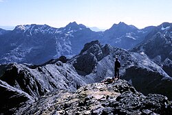
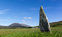


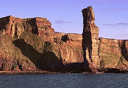
(c) Dave Wheeler, CC BY-SA 2.0
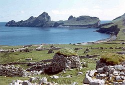
(c) Ian Mitchell, CC BY-SA 2.0

(c) Walter Baxter, CC BY-SA 2.0




Relevante Artikel
National Scenic AreaNational Scenic Area (NSA) ist die Bezeichnung der in Schottland ausgewiesenen Landschaftsschutzgebiete. .. weiterlesen
NithDer Nith ist ein Fluss in den schottischen Council Areas East Ayrshire und Dumfries and Galloway beziehungsweise den historischen Grafschaften Ayrshire, Kirkcudbrightshire und Dumfriesshire. Er ist namensgebend für die historische Provinz Nithsdale. .. weiterlesen
