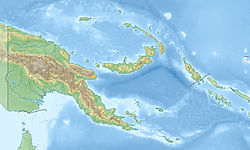
Normanby Island (Papua New Guinea) Topography
Autor/Urheber:
Shortlink:
Quelle:
Größe:
2031 x 1520 Pixel (399569 Bytes)
Beschreibung:
Topographic map of Normanby Island in Papua New Guinea
Lizenz:
Public domain
Credit:
Created with GMT from publicly released SRTM data
Relevante Bilder
Relevante Artikel
NormanbyNormanby, einheimischer Name Duau, ist eine vulkanische, etwa 850 km² große, L-förmige Insel im Pazifischen Ozean. Sie ist die südlichste der D’Entrecasteaux-Inseln, die zur Milne Bay Province in Papua-Neuguinea gehören. .. weiterlesen

