NQ-27-28
Autor/Urheber:
prepared by the Army Map Service (AM), Corps of Engineers, U.S. Army, 1952
Shortlink:
Quelle:
Größe:
3878 x 3755 Pixel (4238949 Bytes)
Beschreibung:
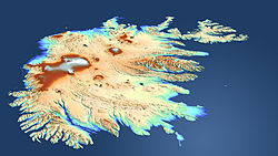
US military map of Iceland, sheet NQ 27-28 (series 1301)
Kommentar zur Lizenz:
This image or file is a work of a U.S. Army Corps of Engineers soldier or employee, taken or made as part of that person's official duties. As a work of the U.S. federal government, the image is in the public domain.
Lizenz:
Public domain
Credit:
prepared by the Army Map Service (AM), Corps of Engineers, U.S. Army, 1952
Relevante Bilder
Relevante Artikel
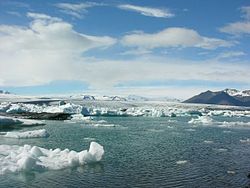
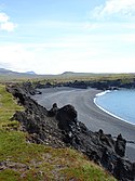
Geographie IslandsIsland ist eine große Insel im Nordatlantik. Sie liegt auf dem Reykjanesrücken genannten, nordöstlichen Teil des Mittelatlantischen Rückens und übersteigt als einziger größerer Teil dieses Meeresrückens den Meeresspiegel. .. weiterlesen


