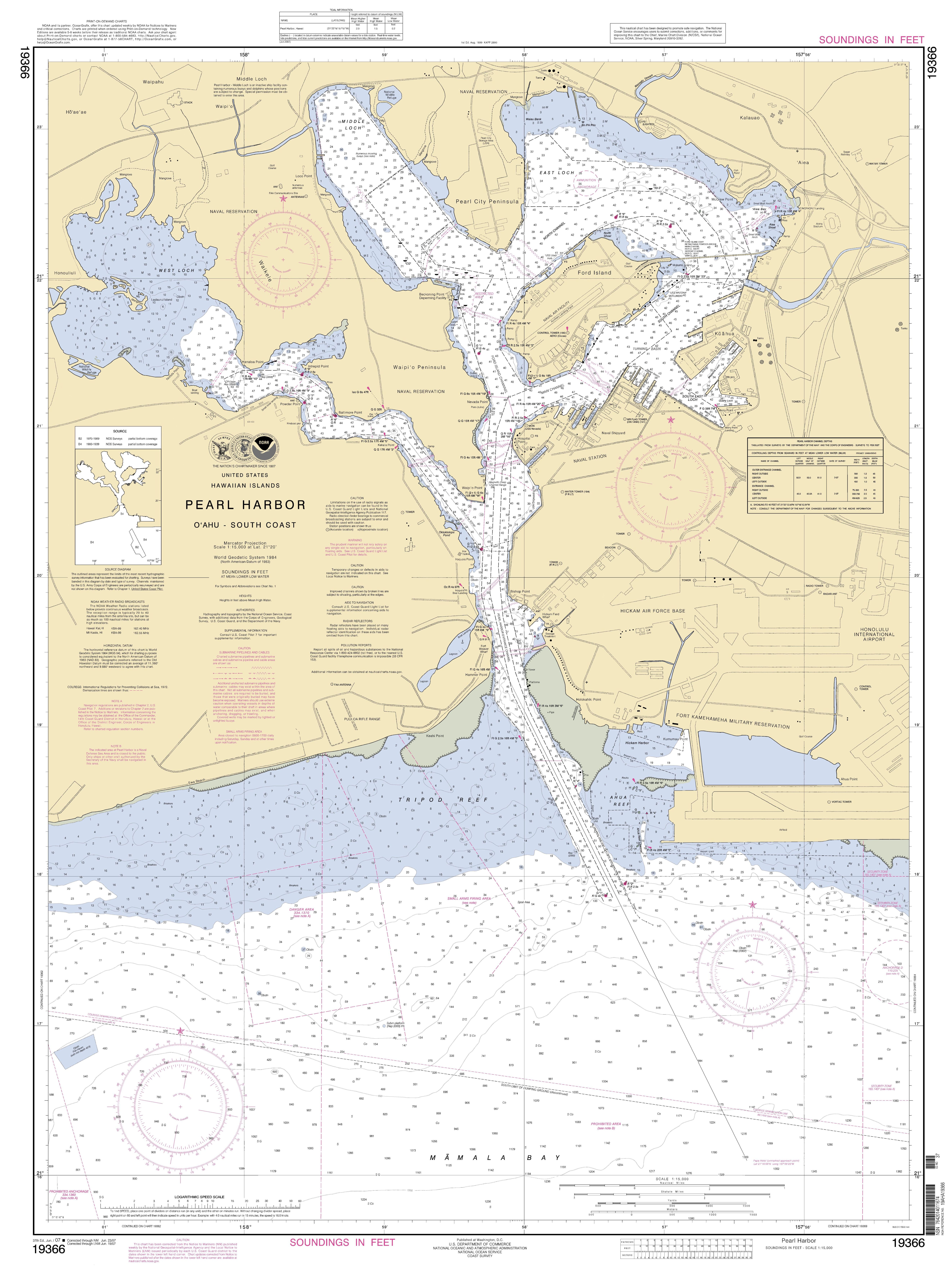
NOAA Pearl Harbor Approach Map
Autor/Urheber:
Employee of the NOAA
Shortlink:
Quelle:
Größe:
5291 x 7123 Pixel (3966695 Bytes)
Beschreibung:
National Oceanic and Atmospheric Administration approach map for Pearl Harbor
Lizenz:
Public domain
Bild teilen:


Relevante Bilder
.jpg)

.jpg)


Relevante Artikel
Ford Island (Hawaii)Ford Island ist eine kleine Insel im Pearl Harbor im US-Bundesstaat Hawaii. .. weiterlesen