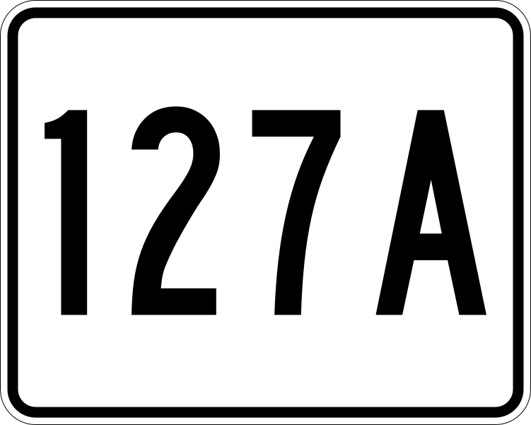
MA Route 127A
This file is in the public domain because it comes from the Massachusetts Amendments to the Manual on Uniform Traffic Control Devices, sign number M1-5, which states on p. 1 that Massachusetts has adopted the federal Manual on Uniform Traffic Control Devices except for "modifications that were deemed necessary to cover local requirements and to incorporate in these official standards the most recent traffic engineering recommendations of MassDOT." The federal MUTCD states specifically on its page I-1 that:
No amendments supersede this provision of the MUTCD. |
Relevante Bilder
Relevante Artikel
Massachusetts Route 128Die Massachusetts Route 128 ist eine 57,58 mi (92,7 km) lange State Route im Bundesstaat Massachusetts der Vereinigten Staaten mit Verlauf von Süden nach Norden. Sie ist um Boston herum als Ringautobahn ausgeführt und zu etwa 60 % Teil des nationalen Interstate-Highway-Systems. Mit dem zunehmenden Wachstum der Spitzentechnologie in den Vororten entlang der Streckenführung von den 1960er bis in die 1980er Jahre hinein wurde die Route 128 selbst zu einem Symbol der High-Tech-Gesellschaft. Heute haben sich Unternehmen dieses Industriezweigs jedoch auch verstärkt entlang der benachbarten Ringautobahn Interstate 495 angesiedelt. .. weiterlesen
Liste der State-, U.S.- und Interstate-Highways in MassachusettsDies ist eine nach ihrer Nummerierung sortierte Aufstellung von State Routes, U.S. Highways und Interstates im US-Bundesstaat Massachusetts. .. weiterlesen
