Lower Shawangunk Kill habitat map
Autor/Urheber:
Shortlink:
Quelle:
Größe:
638 x 825 Pixel (162925 Bytes)
Beschreibung:
Map of wildlife habitat in lower Shawangunk Kill valley in NY, USA
Kommentar zur Lizenz:
This image or recording is the work of a U.S. Fish and Wildlife Service employee, taken or made as part of that person's official duties. As a work of the U.S. federal government, the image is in the public domain. For more information, see the Fish and Wildlife Service copyright policy.
Lizenz:
Public domain
Credit:
Relevante Bilder

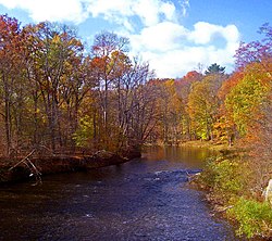
(c) Daniel Case, CC BY-SA 3.0
Relevante Artikel
Shawangunk KillDer Shawangunk Kill ist der größte Zufluss des Wallkill Rivers. .. weiterlesen
