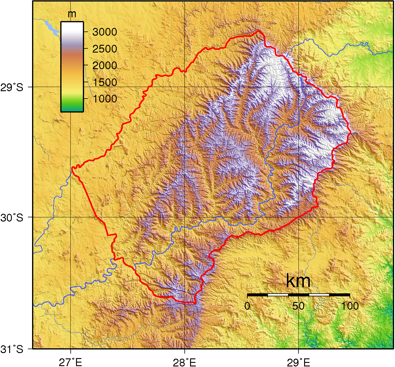
Lesotho Topography
Autor/Urheber:
Shortlink:
Quelle:
Größe:
1330 x 1236 Pixel (3407856 Bytes)
Beschreibung:
Topographic map of Lesotho. Created with GMT from public domain SRTM data.
Lizenz:
Public domain
Bild teilen:


Relevante Bilder


Relevante Artikel
Grenze zwischen Lesotho und SüdafrikaDie Grenze zwischen dem Königreich Lesotho und der Republik Südafrika ist 1106 Kilometer lang. Da Lesotho eine Enklave in Südafrika ist, hat Lesotho einzig diese Grenze. .. weiterlesen