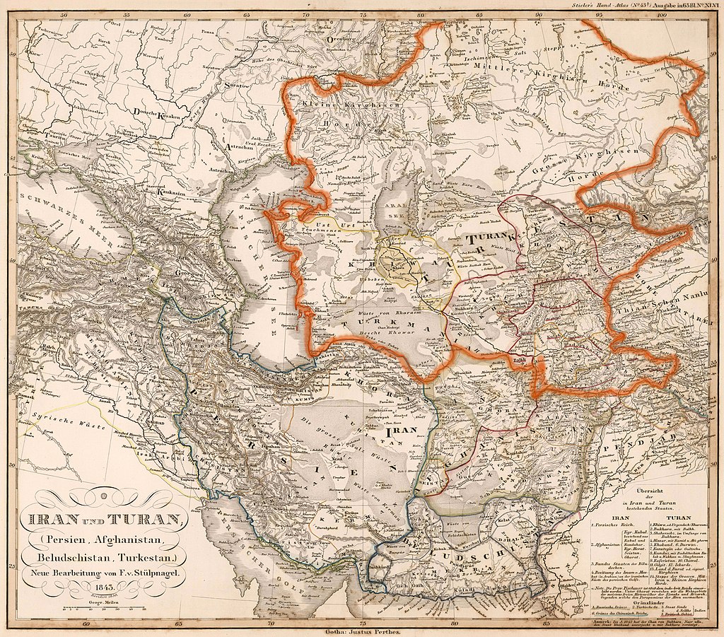
Iran Turan map 1843
Autor/Urheber:
Map by Stieler, 1843
Shortlink:
Quelle:
Größe:
7864 x 6918 Pixel (13355631 Bytes)
Beschreibung:
German "Map of Iran and Turan", dated 1843 (during the Qajar dynasty), Turan territory indicated by orange line (here enhanced).
According to the legend (bottom right of the map), Turan encompasses regions including modern Usbekistan, Kirgisistan, Tadschikistan, Turkmenistan, northern parts of Afghanistan and northern Pakistan. This area roughly corresponds to what is called Central Asia today.
List of the areas mentioned in the map as part of Turan: 1. Khwarazm 2. Bukhara with Balkh 3. Shehersebz (near Bukhara) 4. Hissar 5. Kokand 6. Durwaz 7. Karategin 8. Kunduz 9. Kafiristan 10. Chitral 11. Gilgit 12. Iskardu 13. Kirgisistan 14. The northern steppes (Kasachstan).
Lizenz:
Public domain
Credit:
Iran and Turan (Persia and Central Asia). Map by Stieler, 1843 [1]
Relevante Bilder
Relevante Artikel
Turan (Region)Turan bezeichnet in der iranischen Mythologie ein zentralasiatisches Gebiet nordöstlich von Ērān. Die Bezeichnung wurde in der Spätantike im Rahmen der Herrschaftsideologie des Sassanidenreichs benutzt. .. weiterlesen

