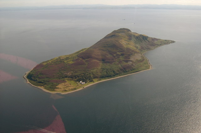
Holy Isle, Arran, from the air - geograph.org.uk - 572770


Relevante Bilder


Relevante Artikel
Holy Island (Schottland)Holy Island, auch Holy Isle genannt, ist eine Insel von Schottland im Firth of Clyde, einer Bucht im Westen der Schottischen See. .. weiterlesen
Firth of ClydeDer Firth of Clyde ist ein Meeresarm an der Westküste von Schottland, der durch die Halbinsel Kintyre vom Atlantik getrennt ist. Das englische Wort Firth bedeutet „Förde“ oder „Fjord“. Er liegt zwischen den Grafschaften Argyll und Ayrshire und ist an seinem äußeren Ende rund 42 km breit. Am inneren Ende zweigen der Loch Long und der Gare Loch ab. In dieser Region liegt auch Greenock mit der Tail of the Bank genannten Sandbank, wo der Fluss Clyde in den Firth of Clyde mündet. Der Fluss ist bei der Sandbank noch immer 3 km breit und die Gezeiten sind bis ins Stadtzentrum von Glasgow bemerkbar. .. weiterlesen