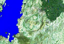
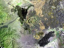
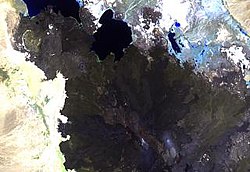
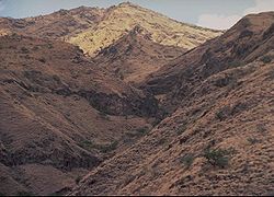
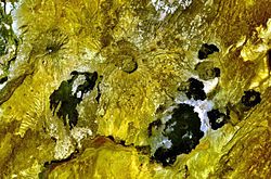
Gabillema
Autor/Urheber:
NASA Landsat image (courtesy of Hawaii Synergy Project, Univ. of Hawaii Institute of Geophysics & Planetology)
Shortlink:
Quelle:
Größe:
640 x 473 Pixel (93603 Bytes)
Beschreibung:
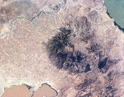
Gabillema is a rhyolitic stratovolcano along the axis of the Addado graben in Ethiopia. The summit of the volcano lies below and to the left of the center of this Landsat image. Rhyolitic lava domes are located on the flanks of the volcano, and a 5 x 17 km basaltic lava field that covers the Ado Bad (Ado Lake) Plain north of the volcano originated from a broad area of fissure vents and spatter cones on the north side of Gabillema volcano.
Lizenz:
Public domain
Relevante Bilder
Relevante Artikel
Liste von Vulkanen in ÄthiopienDies ist eine Liste von Vulkanen in Äthiopien, die während des Quartärs mindestens einmal aktiv waren. .. weiterlesen

