Djoudj199
Autor/Urheber:
NASA/Landsat
Shortlink:
Quelle:
Größe:
828 x 902 Pixel (468334 Bytes)
Beschreibung:
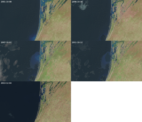
Lake Djoudj (Senegal) during the Nov. 1999 flood In August 2006, the United Nations Environment Programme (UNEP), released an atlas entitled: "Africa's Lakes: Atlas of Our Changing Environment." The atlas relies heavily on Landsat imagery from the past 34 years to show changes in lakes around the African continent. Above, are two Landsat images of the Djoudj Sanctuary in Senegal that are featured in the atlas. The atlas tell us: "Situated in the Senegal river delta, the Djoudj Sanctuary is a wetland of 16 000 ha, comprising a large lake, referred to as Lake Djoudj in this publication, surrounded by streams, ponds and backwaters. [These two images show the Djoudj Sanctuary before and after the construction of the Diama Dam." "The image from September 1979 shows the impact of drought on the Djoudj Sanctuary, while] the image from November 1999 shows rejuvenation of the sanctuary wetlands due to the significant floods of that year".
Lizenz:
Public domain
Credit:
NASA [1]
Relevante Bilder
Relevante Artikel
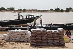
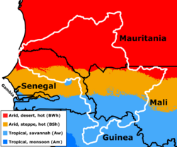
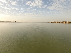
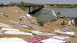
Senegal (Fluss)Der Senegal ist ein 1086 Kilometer langer Strom in Westafrika. Er wird bereits bei Plinius dem Älteren als Bambotus und bei Claudius Ptolemäus als Nias genannt. Das Wort Zenaga für den Namen einer Sprache und einer Volksgruppe, die im südwestlichen Mauretanien zwischen der Atlantikküste und dem unteren Senegal beheimatet ist, kommt etymologisch als Herkunft für den Namen Senegal in Frage. Der Fluss ist für das Land Senegal das bedeutendste und namengebende Gewässer. .. weiterlesen

