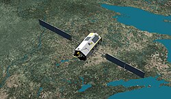
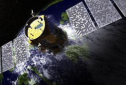
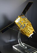
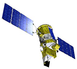
Copernicus Sentinel-6 in orbit ESA21459422
These measurements are not only critical for monitoring our rising seas, but also for climate forecasting, sustainable ocean-resource management, coastal management and environmental protection, the fishing industry, and more.
Relevante Bilder
Relevante Artikel
Sentinel-6Die Sentinel-6-Mission, auch Jason-Continuity of Service-Mission (Jason-CS) genannt, ist eine gemeinsam von der NASA, der Europäischen Weltraumorganisation (ESA), der Europäischen Organisation zur Nutzung meteorologischer Satelliten (EUMETSAT) und der National Oceanic and Atmospheric Administration (NOAA) entwickelte und betriebene Satelliten-Mission. Sentinel-6 besteht aus zwei identischen Satelliten. .. weiterlesen
Liste von ErdbeobachtungssatellitenDies ist eine Liste von Erdbeobachtungssatelliten. Sie gibt eine kleine Auswahl der tatsächlich gestarteten Satelliten wieder. .. weiterlesen


