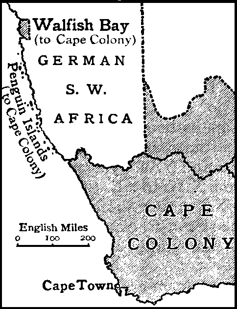
Cape Colony with Walvis Bay and Offshore Islands
Autor/Urheber:
Internet Archive: https://archive.org/details/Encyclopedia_Britannica_1911_Complete
Shortlink:
Quelle:
Größe:
484 x 632 Pixel (35590 Bytes)
Beschreibung:
Map of the Cape Colony, with Walvis Bay and the Penguin Islands.
Kommentar zur Lizenz:
| This image comes from the 13th edition of the Encyclopædia Britannica or earlier. The copyrights for that book have expired in the United States because the book was first published in the US with the publication occurring before January 1, 1929. As such, this image is in the public domain in the United States. |  |
Lizenz:
Public domain
Credit:
Encyclopædia Britannica, 1911
Bild teilen:


Relevante Bilder


.jpg)


.svg)


_b_667.jpg)
.svg)


Relevante Artikel
Deutsch-SüdwestafrikaDeutsch-Südwestafrika war von 1884 bis 1915 als Schutzgebiet eine deutsche Kolonie auf dem Gebiet des heutigen Staates Namibia. Mit einer Fläche von 835.100 km² war es ungefähr anderthalbmal so groß wie das Deutsche Kaiserreich. Deutsch-Südwestafrika war die einzige der deutschen Kolonien, in der sich eine nennenswerte Anzahl deutscher Siedler niederließ. .. weiterlesen