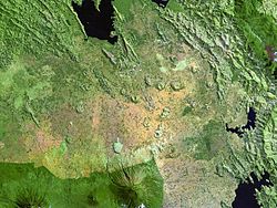
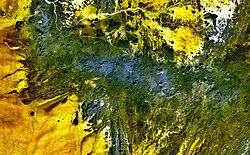
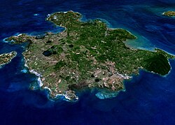
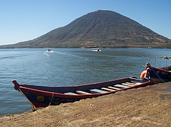
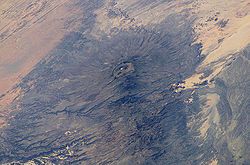
Bunyaruguru volcanic field
Autor/Urheber:
NASA Landsat7 image (worldwind.arc.nasa.gov)
Shortlink:
Quelle:
Größe:
640 x 449 Pixel (53194 Bytes)
Beschreibung:
Maars of the Bunyaruguru volcanic field, also known as the Kichwambe volcanic field, blanket the center of this NASA Landsat image (with north to the top) of the eastern side of the Western Rift Valley. The Bunyaruguru field, lying south of the river channel connecting Lake Edward (left-center) and Lake George (top right), contains more than 130 explosion craters, 27 of which contain lakes with water ranging from fresh to saline. Maars of the Katwe-Kikorongo volcanic field lie across the river channel at the upper left.
Lizenz:
Public domain
Relevante Bilder
Relevante Artikel
Liste von VulkanenDies ist eine Liste von Vulkanen auf der Erde. .. weiterlesen


