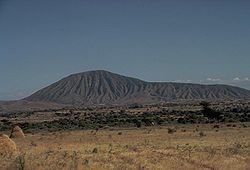
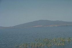
Bishoftu volcanic field
Autor/Urheber:
NASA Landsat image (courtesy of Hawaii Synergy Project, Univ. of Hawaii Institute of Geophysics & Planetology)
Shortlink:
Quelle:
Größe:
640 x 452 Pixel (94216 Bytes)
Beschreibung:
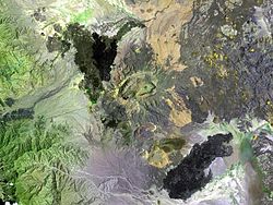
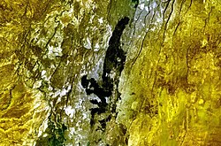
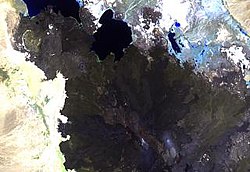
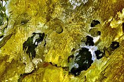
Bishoftu volcanic field — of Ethiopia.
- A chain of lake-filled maars (dark-colored in this Landsat image), tuff rings, and cinder cones, lies along the Ethiopian Rift Valley SE of Addis Ababa and forms the Bishoftu volcanic field.
- The city of Debre Zeit (left-center) lies between two maars, irregular-shaped Lake Hora and circular Lake Bishoftu.
- The Haro Maja tuff ring and its neighbor to the west, lake-filled Kilole maar (upper right), are offset to the east.
Lizenz:
Public domain
Relevante Bilder
Relevante Artikel
Liste von Vulkanen in ÄthiopienDies ist eine Liste von Vulkanen in Äthiopien, die während des Quartärs mindestens einmal aktiv waren. .. weiterlesen


