Mapou
Koordinaten: 20° 4′ S, 57° 37′ O
Mapou ist eine Ortschaft („Village“) im Norden von Mauritius. Sie ist Teil des Distrikts Pamplemousses (Südteil des Ortes) sowie des Distriktes Rivière du Rempart (Nordteil) und gehört administrativ zur Village Council Area (VCA) Mapou. Bei der Volkszählung 2011 hatte der Ort 1592 Einwohner.[1]
Geschichte
Mapou gewann 1863 Bedeutung, als in Mapou ein Bahnhof der Linie Port Louis–Grande Rivière Sud-Est gebaut wurde. Hier zweigten Nebenlinien nach Labourdonnais und Esperance ab. Siehe hierzu auch Schienenverkehr auf Mauritius. Nach dem Ende des Schienenverkehrs auf Mauritius war die Lage an der Autobahn M2 wesentlich für die Verkehrsanbindung des Ortes.
1929 wurde das erstinstanzliche Gericht, der District Court für den Bezirk Rivière du Rempart, von Poudre d’Or nach Mapou verlegt. Siehe hierzu auch Gerichtsorganisation in Mauritius.
Der Ort ist vor allem durch das Château de Labordonnais bekannt. Das Herrenhaus wurde 1856–1859 durch Christian William Wiehe (1807–1878) erbaut.[2]
Am Ort befinden sich die Northfields International High School, die School Du Nord und die Mapou Government School.
Der Windmühlenturm von Forbach an der Forbach Road steht unter Denkmalschutz. Die 1818 von Joseph Staub erbaute Mühle diente dem Mahlen von Zuckerrohr.[3]
Literatur
- Benjamin Moutou: Pamplemousses - Riviére du Rempart - Quatre siécles d’histoire, 2006, ISBN 978-99903-992-9-5, S. 307–310
Weblinks
Einzelnachweise
- ↑ Statistics Mauritius: Housing and population census 2011, Volume II: Demographic and fertility characteristics, S. 71, statsmauritius.govmu.org (PDF) (im Süden sind dies 254, im Norden 1.275 Einwohner)
- ↑ Save our heritage: Château de Labordonnais. Website über Kulturdenkmäler auf Mauritius
- ↑ Save our heritage: Moulin à vent, Forbach. Website über Kulturdenkmäler auf Mauritius
Auf dieser Seite verwendete Medien
Autor/Urheber: Yashveer Poonit, Lizenz: CC BY-SA 3.0
The armorial ensigns and supporters of Mauritius are described as:
(a) for arms-
- Quarterly azure and or.
- In the first quarter a lymphad or.
- In the second, 3 palm trees vert.
- In the third, a key in pale the wards downwards gules.
- In the issuant, from the base a pile, and in chief a mullet argent.
(b) for the supporters-
- On the dexter side, a dodo per bend sinister embattled gules and argent, and
- On the sinister side, a sambur deer per bend embattled argent and gules, each supporting a sugar cane erect proper,
(c) Uwe Dedering in der Wikipedia auf Deutsch, CC BY-SA 3.0
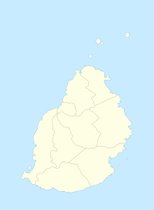
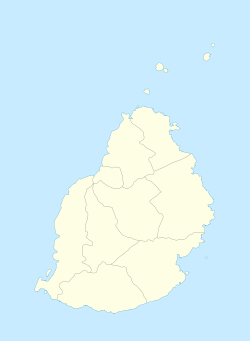
Location map of Mauritius
Equirectangular projection. Stretched by 106.0%. Geographic limits of the map:
- N: -19.7° N
- S: -20.6° N
- W: 57.21° E
- E: 57.91° E


