Manda-Inakir
| Manda-Inakir | ||
|---|---|---|
 | ||
| Manda-Inakir | ||
| Höhe | 600 m | |
| Lage | Äthiopien, Dschibuti | |
| Koordinaten | 12° 38′ 0″ N, 42° 20′ 0″ O | |
| ||
| Typ | Schlackenkegel, Spaltenvulkan | |
| Letzte Eruption | 1928 | |
Manda-Inakir ist ein System von Schlackenkegeln und Spaltenvulkanen an der Grenze von Äthiopien und Dschibuti. Die letzte Eruption 1928 erzeugte den Schlackenkegel Kammourta.
Weblinks
- Manda-Inakir im Global Volcanism Program der Smithsonian Institution (englisch)
- Manda-Inakir
Auf dieser Seite verwendete Medien
The dark-colored lava flows extending diagonally across the center of this Landsat image were erupted from pyroclastic cones of Manda-Inakir volcano. These NNW-trending fissure vents and cones are located along the Ethiopia-Djibouti border and represent an uplifted mid-ocean ridge spreading center now exposed above sea level. An eruption in 1928 or 1929 at the SE end of the Manda-Inakir rift near the town of Korili (in Djibouti) produced the Kammourta cinder cone and a lava flow.
(c) Karte: NordNordWest, Lizenz: Creative Commons by-sa-3.0 de
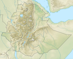
Positionskarte von Äthiopien


