Eskimo Point
| Eskimo Point | ||
|---|---|---|
 | ||
| Lage | Viktorialand, Ostantarktika | |
| Gebirge | Eisenhower Range | |
| Koordinaten | 74° 17′ 0″ S, 162° 33′ 0″ O | |
| Normalweg | Hochtour vergletschert | |
Der Eskimo Point ist ein steilwandiger Felsvorsprung mit abgeflachter Gipfelkrone im ostantarktischen Viktorialand. Er ragt auf der Ostseite der Eisenhower Range auf und bildet die Nordwand des O’Kane Canyon.
Die Südgruppe der von 1962 bis 1963 dauernden Kampagne im Rahmen der New Zealand Geological Survey Antarctic Expedition benannten ihn so, weil die Teilnehmer hier wie Eskimos ein Iglu errichteten, um darin während eines Whiteout zu kampieren.
Weblinks
- Eskimo Point auf geographic.org (englisch)
- Eskimo Point. In: Geographic Names Information System. United States Geological Survey, United States Department of the Interior, archiviert vom (englisch).
Auf dieser Seite verwendete Medien
Autor/Urheber: Alexrk2, Lizenz: CC BY-SA 3.0
Physische Positionskarte Antarktis, Mittabstandstreue Azimutalprojektion
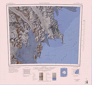
1:250,000-scale topographic reconnaissance map of the Mount Melbourne area from 162°-166°30'E to 74°-75°S in Antarctica. Mapped, edited and published by the U.S. Geological Survey in cooperation with the National Science Foundation.


