Japan Relief Map of Land and Seabed
Autor/Urheber:
NASA, National Geophysical Data Center, NOAA
Shortlink:
Quelle:
Größe:
2117 x 1745 Pixel (7832455 Bytes)
Beschreibung:
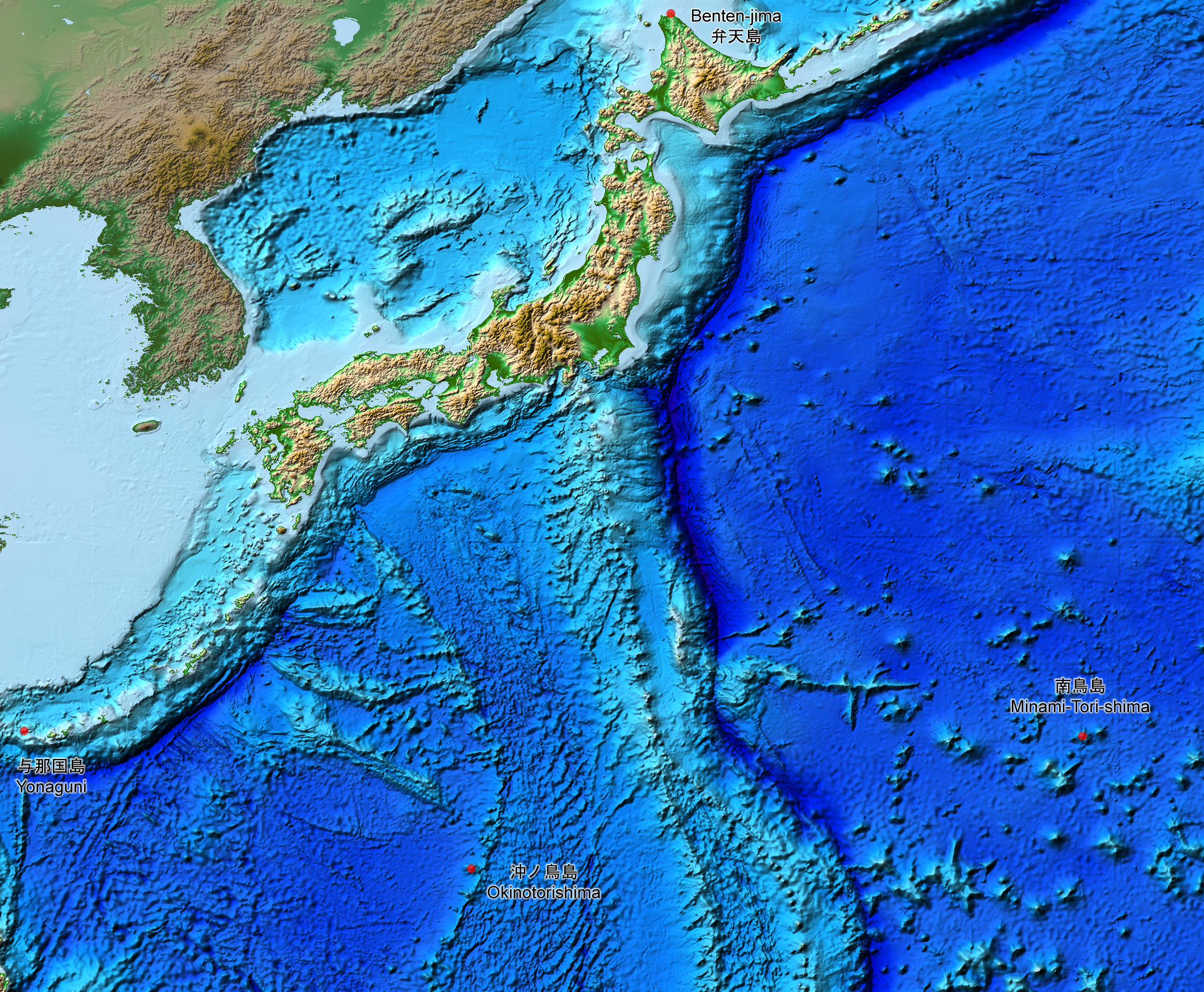
This is a relief map of the land and the seabed of Japan. It shows the surface and underwater terrain of the Japanese archipelago. It includes all the Japanese islands such as Minami-Tori-Shima, Benten-jima, Okinotorishima and Yonaguni.
Lizenz:
Public domain
Credit:
ETOPO1, Global Relief Model, https://www.ngdc.noaa.gov/mgg/global/global.html
Bild teilen:


Relevante Bilder


Relevante Artikel
Geographie JapansJapan ist nach Indonesien, Madagaskar und Papua-Neuguinea der viertgrößte Inselstaat der Welt. Er liegt im Pazifik vor den Küsten Russlands und Koreas. .. weiterlesen